The Thames on the Eve of Londinium - exploring a late Iron Age landscape in London

There has been a recent stir of interest and a flurry of newsworthy London discoveries from the Iron Age period. I haven’t been all that proactive in the promotion of my PhD research, nor discussed the topic in any great detail here or on my social media, but I made a promise to myself, to make my work in progress a little more visible in this brand new year of ours. So here goes with an introduction.

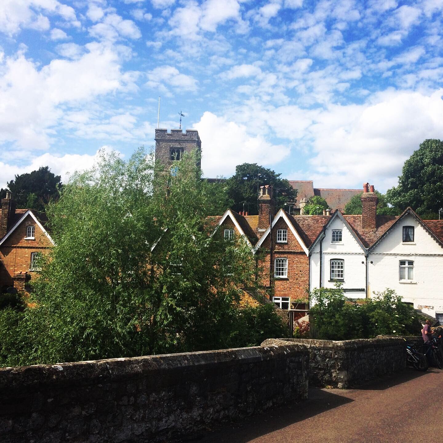
There has long been an attitude that London was mostly devoid of Iron Age activity, save that of a few scattered farmsteads and a possible ritual area on the river, nestled between the territories of opposing communities with differing leaders and strongholds.

London is said to have emerged following the arrival of the Romans in AD 43 and quickly grown into one of the most important towns in the province of Brittania.

The problem with challenging these age-old opinions is that evidence of Iron Age London is hidden amongst hundreds of scattered reports, grey literature, chance finds, and datasets old and new. It would take a lot of digging to gather this material, to go through the crumbs of evidence with a fine-tooth comb, and then attempt to reconstruct the truth from the tapestry of fragmentary findings.

This is precisely the challenge I have set myself, and I love it.

It is far from easy, the material is complex and there are many varied opinions on what is represented, but with a bit of luck and a lot of hard work, I hope to comprehensively map the environments of the London region before the arrival of the Romans in AD43.

As a way of introduction, I have recorded a 20-minute presentation on my initial foundational studies as I attempt to understand the character of the region during the late Iron Age. This initial offering introduces the issues and challenges faced when attempting this particular topic as well as some initial findings and the direction of the study going forward.

I hope you find it of interest, it is fascinating to me, but I am a total geek when it comes to this topic!

Tonbridge... A Tale of Two Castles

All lockdown and no adventure makes Archaeofam awfully sad

All Lockdown and no Adventure makes Archaeofam aWfully sad

All lockdown and NO adventuremakes Archaeofam AWfullY sad

aLl LOckDown and No Adventure mAkes Archaeofam 4wfu11y SAD

AlL L^*KdowN aNd N£ A&venture M@kes #rchAeofaM ^W£ullY $ad

IMG_0711.JPG

It seems to have been terrorising us forever, this awful, heartbreaking pandemic. It is a truly foul and frightening situation and our family are fully committed to doing our part, staying in isolation and away from others to help stem any spread of infection.

Of course, that doesn’t mean we don’t utterly miss being free to explore the sublime world around us. It seems strange to think back on adventurous days almost a year ago when we could make thrilling plans and travel to new unseen parts of this wonderful island, to witness fresh and fascinating feasts for our eyes and to revel in the awe-inspiring histories littering every inch of Albion.

Yet despite the current lamentable situation of the virus stricken planet, we are not completely caged, for as long as we are vigilant, it is safe to venture out on short isolated walks for exercise purposes. We cannot stress enough how important we believe it is to remain socially distanced from all who are not part of a bubble, but this has been a unique opportunity for us to explore some of the curious wonders closer to home.

In a recent poll, Tonbridge was named the happiest place to live in the whole of south-east England! (as long as you don’t count Richmond Upon Thames, which came out above Tonbridge and is in fact in the south-east of England, but let’s just ignore that, for now, shall we?!)

We are fortunate enough to currently call this cosy little corner of the world home. On a couple of former journal entries, we explored certain parts of the historic town, but the lockdown has been a wonderful chance to really get to know this quirky little community and its remarkable landmarks.

For us, Tonbridge is a tale of two castles.

The earliest of these is the incredible, though lesser-known, Iron Age hill fort upon Castle Hill.

There are actually two hillforts upon Castle Hill, both of which were excavated during summers between 1969 and 1971. The late S E Winbolt, who was under the impression there was only a single hillfort, had conducted earlier work in 1929. It was not until aerial photography was utilised that this mistake was understood and early plans of this ancient monument were revised. The fortifications on the arable segment of land have been largely ploughed out, but evidence remains intact in the forested areas.

This particular position in the landscape was an important aspect of high ground, 400 feet above sea level, controlling a northwest to southeast route to the river at Tonbridge, a frequent crossing point of the magnificent Medway.  British Museum radiocarbon dates of charcoal at the site indicate the forts were in use between 315 – 228BC. The earlier of the two forts appear to have suffered fiery destruction, though it is unclear whether this was an accidental or deliberate action. The volume of burnt timbers suggests a dramatic and sudden event. This first fort was subsequently abandoned and a second soon occupied.

Archaeologists argued the residents of these fortifications were probably farmers or peasants, protecting themselves from unclear outside threats, perhaps Belgic invaders, early Roman influence or rival neighbouring tribes, or something altogether more ghastly. They utilised the forested landscape and built oak palisades and revetting fences along the ramparts. The main outer rampart of the first fort was 30 feet wide and 12 feet deep, the inner rampart 15-18 feet wide.  Inside the rampart from an entrance to the east, the surface was cobbled with ironstone.

Our meanderings have often concluded in strolling by this magnificent hidden gem. The surrounding countryside is so peaceful and stunning. It is one of the things that drew us to Tonbridge, to begin with. A town with all the amenities we could possibly require, yet a short walk in any direction and we could be wandering through green pastures and witnessing stunning hilltop landscapes and a scattering of historic villages and buildings.

The other, more famous of Tonbridge’s Castles is... Tonbridge Castle!

The castle sits at the heart of the town, majestically crowing a small rise by the river. It bravely commands the main river crossing, now part of the high street and is an easy point of reference for residents and visitors alike.

The castle came to be shortly after the Norman Conquest of England in 1066. It was a simple fort of earth and timber, a Motte-and-Bailey castle which guarded the crossing of the River Medway. The castle was built by Richard Fitz Gilbert who was granted the land by William the Conqueror. It is thought that between 30,000 and 50,000 tonnes of earth were shifted to create the moat and erect the Motte.

The Castle continued in the family and was handed down to the De Clare family, descendants of Fitz Gilbert. This family continued the development of the castle, replacing the wooden structures with stronger stone-built fortifications. They were to make a big mistake however as they rebelled against King William II, whose army besieged the castle and burnt Tonbridge to the ground.

The De Clares were allowed to retain the castle and continued to improve its defences. In the thirteenth century, a stone curtain wall connecting great towers at each corner was built around the whole town for protection and a twin-towered gatehouse was erected.

During the reign of Henry III, the castle was said to be one of the strongest fortresses in England. His niece, as well as Edward I daughter, was a mistress of the castle.

The castle ceased to be a residence after the 16th century, apart from a brief period when it was occupied during the Civil War, though it saw little action, with the warring parties clashing elsewhere nearby.

On days when a lengthy adventure seems too much of a trial, a wander to the Castle is a perfect tonic. We often stroll across the green, Audrey loving the opportunity to hunt for treasure or run through the grassy fields. If the weather isn’t the greatest, this whole area can become inundated with water. It was perhaps added security in days gone by, now, however, it is a convenient messy playground for our little explorer.

Whilst the original structure that adorned the Motte-and-Bailey is long gone, it is still possible to climb the imposing mound and view the ruins at its peak. This is a great opportunity to witness the spectacular strategic landscape which made the area perfect for such a defensive powerbase.

One of the most wonderful things about our little town is the abundance of worthy public house options! There are watering holes for all tastes. Rustic old pubs like the Vauxhall Tavern or the Tudor built Rose and Crown, both old coaching inns, or the Chequers Inn, itself dating back to the 15th century but on a site where an Inn has likely stood since 1264.

Nearby the Chequers was the traditional spot for punishments in the town, which included stocks and a whipping post. In July 1555 Margery Polley was burnt here for her religious beliefs and in July 1575 Katherine, the wife of Edmund Brystowe, was burnt for poisoning her husband.

You can also find great Sports Bars like the George and Dragon or the Gatehouse, or homely, artsy wonders like two of our very favourite places, The Foresters Arms and the Beer Seller, both with delightful decor, the best range of beers and even fantastic deals on pizza!

A short drive opens a whole new range of wonderful options including our old local, the first place we ever enjoyed a drink in this part of the world, The Poacher and Partridge, a stunning country pub with an amazing beer garden. There are of course countless more options and we will undoubtedly try to get around them all.

In any of our usual adventures we would sign off by finding one of these local pubs for a refreshing final beverage, but with the current difficult health and safety issues and the unfortunate closing of such establishments, we must refrain. Luckily, as we are in our home town, we can safely enjoy our favourite tipples from the comfort of our own living room.

Home sweet home!

IMG_5829.jpg

RITUAL REVELATIONS IN THE WEST KENT DOWNS - part 2

The next barrow sites were not a great distance as the crow flies, but a vast forest and dangerous highway separated us from the sacred monuments and with our loaded provisions and entourage of varying ability, we would probably not have been able to succeed on foot. First on the list was Addington Long Barrow. We loaded the car and made our way through winding country roads, cute village outposts and blissful scenic spaces until we discovered the sought-after side road, well off the beaten track.

6F005109-6741-4359-AB9D-528B9FEA89B0.jpg

Addington is another sub rectangular Long Barrow of the Medway Megalith style.  It was probably built during the early Neolithic period and has since been vastly damaged, but is still recognisable as a significant prehistoric monument. The most troubling aspect of the Addington Long Barrow is the road which has been constructed directly through the centre of the mound. Collapsed kerb stones in the northeast of the structure would likely have been the space for deposition of human remains, though none were ever discovered within the tomb. The Long Barrow itself is on private land and is only visible from the roadside, but is still worth seeing, though severe caution is suggested when viewing from the narrow winding road.

The last of the substantial Medway Megaliths on the west side of the river in this incredible landscape is Chestnuts Long Barrow. This prehistoric monument is found very close to Addington, a mere 150 feet away. Chestnuts, though, is further into the aforementioned private land, engulfed by leafy trees and thick shrubbery and utterly impossible to approach without some questionable law-breaking. Keen to avoid invading private land or inviting potential criminal prosecution, we made the disappointing decision not to pursue this objective any further. Having established the monument was definitely not visible from the road and after enduring abuse from some of the roadside plant-life; we hopped back into the car and set a course for the final destination of our adventure.

By this point, Audrey had collected a number of intriguing stones for investigation.  Though not the elusive Rainbow Stone she desired, these were certainly related artefacts and would offer vital information into the whereabouts of her target treasure.

Aylesford is a pretty little riverside village just northwest of Maidstone in Kent, with delightfully crooked old buildings and enticing traditional public houses.  At the peak of the hill which adorns the historic village is a striking Norman church, wonderfully encircled by a charismatic gothic graveyard.

We were here on the hunt for a high-status late Iron Age cemetery located in the area. In 1886 the site was excavated by renowned antiquarian Arthur Evans, famed for his incredible discoveries in Crete at the Palace of Knossos, a ruin he excitedly exclaimed was that of King Minos mythical Labyrinth. The late Iron Age cremation cemetery in Aylesford was richly furnished with spectacular grave goods including bronze buckets, pans and jugs, as well as wheel-thrown Belgic wares from the 1st century BC.  Discovery of this unique burial illustrated a high level of continental connectivity prior to the Roman invasion. The find was deemed so important that an entire culture, the Aylesford-Swarling culture, was named after it. There has been speculation that Aylesford was also the location of the Battle of Medway, a recorded clash between native Britain’s and invading Romans during their occupation of Britain, though there is no evidence to back up this claim.

We parked the car in an easily accessible, fee-free car park close to the village centre and set off on foot through the narrow rustic streets.  The glorious sunshine had enticed throngs of leisure seekers into the communal village spaces, parks and bridges were swarming with families and friends enjoying all manner of refreshments.

We wandered along the river, onto the high street, past the historical buildings lining the narrow roads and we climbed towards the church.  The views from the top of the hill were splendid, but we found our path restricted by the ‘no dog’ policy of the churchyard and had to skirt the most scenic areas and stick to alternative pathways.  Despite our best efforts, and many dead-end streets and alleys, we were unable to locate the area of the cemetery.  Our phone batteries had long since expired so we were wandering blindly through the village, which had its advantages but eventually proved frustrating. We gave up on the quest, satisfied with our explorations of the ancient village itself. Audrey collected some further stony specimens for her study and it was time to go.

Since we had been enjoying a period of detox, we celebrated with ice cold non-alcoholic beers and light snacks when we finally made it home.  I made the mistake of checking precisely where the Iron Age cemetery was located... we had been just meters from a decent vantage point, if only we had followed the unpromising road at the peak of the hill a little further, perhaps we would have witnessed our goal. Ah well, something to try for next time!